Monday, August 29, 2011

The Other Day I Went Orienteering.

"Orienteering is a family of sports that requires navigational skills and using a map and compass to navigate from point to point in diverse and usually unfamiliar terrain, and normally moving at speed."

That's Wikipedia's definition of orienteering. And I'd say I met at least four out of the five qualifications that make it orienteering, at least.
I did have a map, so that's one check. A compass? Another check. Diverse and unfamiliar terrain? Definitely. "Moving at speed"? Well, no, not really. Navigational skills? Yeah!

...Or, I had thought so, until yesterday.

Here's what happened:
I chose Route 4, which had 10 points to look for on the map and was about 3.1 km long. The goal is to begin at the starting point, find the first listed point, then the next point, and the next point, etc., until finally you end up relatively close to the beginning again. On Route 4, the first point I was supposed to find was marker number 56.

It started out well.

I found a lot of trees.

Seriously.
But I didn't find marker number 56... I did find marker 83 though, which I was pretty proud of at the time, until I discovered that marker 83 was the finishing point. I then decided to re-orient myself and find marker 56 again.
Somehow I instead found myself on the edge of a clearing and realized that I was lost and should probably turn around, so I did, and...

Salvation!
...found marker 74! Even though marker 74 wasn't supposed to be on Route 4, I still considered it an achievement. Marker 74 was kind of on the way to my next goal (marker 75), so I decided to continue.
The next obstacle was a field of waist-high ferns.

They looked so innocent.

Somehow I lost my map in the ferns, but I soon found it again.

Probs a fern conspiracy.

I then continued south, and my navigation skills followed. I decided that I had passed marker 75, so I turned and tried to go back, but I got lost again. After walking for a bit, I found a road!

SALVATION!
So, I followed the road and hoped that it led back to the bigger road.

It did. :D
After a few minutes of walking along this road, I found the starting point of the event and the safety of the car. And my orienteering was finished.

Until this Thursday when I'll do it again. :D

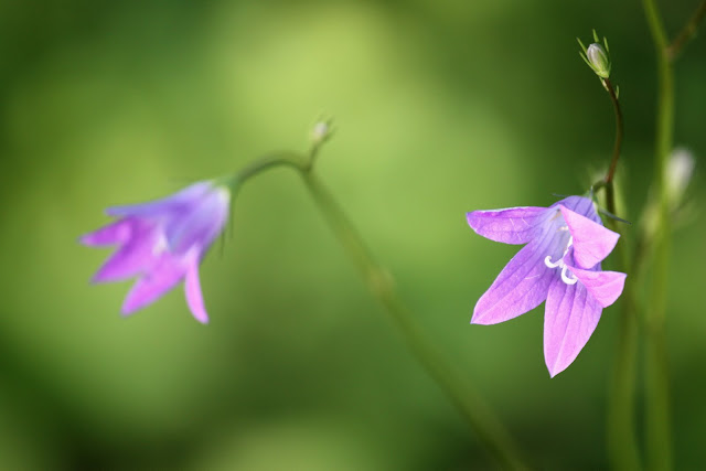
I'll try to add some of my macro shots at the end of each post, just to keep things interesting...

Tuesday, August 23, 2011

A Weekend on an Ex-Soviet-Occupied Island

This past Sunday my host family and I went to Naissaar -- an island just north of Tallinn -- for my host father's company's "summer days" (basically a gathering of all of the company's employees where they party and do group activities).
The remains of one of the guns.
As hinted at in the title, Naissaar was once occupied by the Soviets. It's in a prime location, especially if you are trying to set up a line of defense in a country squished between communists and capitalists.... There were a few very large guns set up by the Russians on the island, plus a (very secret) naval mine factory. On Monday we were given a tour of the ruins of the guns and some old concrete buildings as well.


Old concrete ruins. Complete with scary military guy.

Old and rusty naval mines.

Perfectly harmless. Just don't touch them too hard.

By the way, apparently the only way to move around the island is to use giant military trucks or Land Rovers.

I should have chosen the Land Rovers.
The island is only about an hour's ferry ride away from the city and the weather was quite nice on the way there (though it poured on the way back...). Once on the island we walked about 3 km to the "hotel" since the trucks were already full of people and suitcases.

The first group activity that we did was orienteering. We were divided into groups of four and then given an hour and a half to find certain points in a small area of the island. Luckily, my teammates spoke English and because of me our team name was "Ameerika". Let's just say Ameerika didn't do so well this weekend.

Our first challenge was to try and match the shapes of Estonian counties with their names... I was no help. Then we were given a map and compass, and we tried to find the checkpoints. At some of the checkpoints we had to do certain tasks... The only one I was good at was skipping stones. In the end everyone's points were tallied and Team Ameerika ended up coming in 13th! Unfortunately there were 13 teams. 

I had a lot of free time to roam around the compound -- I mean hotel -- so I just took my camera and walked...


Good taste in paint jobs. Bad taste in ideologies.

Google Translate tells me that this says "Flammable!" I thought it said "OreoNacho!" I'm disappointed.
Here are some nice pictures to make up for all that boring text and concrete:


Saturday, August 20, 2011

Estonian Independence Day

Happy Estonian Independence Day!

I'm watching the Vabaduse Laul (Freedom Song) on TV -- it's a national concert taking place in Tallinn right now!


Woohoo!

Tomorrow I'll be going to an island called Naissaar just north of Tallinn... If the weather's nice I'll come back with some photos!

Wednesday, August 17, 2011

Final Destination (Lots of Pictures)

So I reached my final destination on Saturday night after about seven hours of traveling. It was about three hours by car from Karkku to Helsinki, then 2.5 hours by ferry to Tallinn, and finally another 2 hours by car to Tartu. (Click on the photos to make them bigger, by the way)

It was a big ferry.


By the time I reached Tartu on Saturday night it was quite late so I just went to bed, but the next day....

...We went to an airshow in Tartu! My host father was scheduled to do some gliding aerobatics in the afternoon, but we arrived early to see some other things too.
Almost 3500 people attended the show... 3x more than last year!


Outdoor hangars for retired planes


A demo helicopter rescue operation....


Later that day we went drove to the Ridali Lennuklubi, which is a gliding club and airfield in Southern Estonia.
The clubhouse


After that we drove a little ways to Otepää, where I took a walk around a bit of Lake Pühajärv. There was a boardwalk that went into some scrublands and then further into the forest, so naturally I followed it...

Also: ducks.


And that was the end of day one!